/ By The Thyolo House
Southern Malawi Travel: A Tea Estate Host's Colonial-Era History Route
Why southern Malawi travel reads differently when you follow the history
Most southern Malawi travel itineraries get sold as a checklist of natural wonders: the lake at Cape Maclear, the elephants at Liwonde, the granite cathedral of Mulanje. Those things are real and worth every kilometre of dirt road to reach them. But if you stay for more than a week, and especially if you stay with people who have lived here for generations, a second map starts to appear underneath the first. It is a map of mission bells and planters' bungalows, of forestry stations built in the 1890s, of churches older than most of the buildings in the cities they sit beside. Following that older map is, I think, the most rewarding way to do southern Malawi travel — and it is the route I most often plan for guests who ask, after a day or two of tea and quiet, what else there is to see.
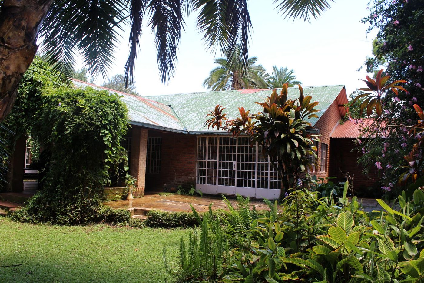
I write this from The Thyolo House, the original colonial farmhouse on the Conforzi Tea Estate, where my family settled in the 1920s. From the verandah you can see four generations of decisions about land, tea, and architecture; a few hours' drive in any direction puts you in front of buildings older than the estate itself. What follows is the route I recommend to guests who want to do southern Malawi travel slowly, with the history visible. It is not a museum tour. The churches still hold services, the forestry stations still issue permits, the parade ground at Zomba still has parades. The past here is not behind glass.
Blantyre's missionary spine — the 1876 church and the streets that grew around it
Blantyre is the obvious starting point for southern Malawi travel because it is where most international flights land and where the commercial life of the south still concentrates. But the way to read Blantyre is to remember that the city is named after the Scottish village where David Livingstone was born, and that it grew, brick by brick, around a single mission station founded in 1876 by the Church of Scotland. That mission station is still there. St Michael and All Angels Church, completed in 1891 by the Reverend David Clement Scott using local labour and almost no professional engineering plans, is one of the most extraordinary brick buildings in central Africa. It has the proportions of a small European cathedral and the texture of something improvised in a place where bricks had only just begun to be fired at scale.
Start there in the morning, before the heat. The brickwork is the thing — the layered arches, the way the bell towers were built without a single trained mason on site. From the church, walk down towards Victoria Avenue and the old colonial commercial district. You will see the bones of the early 20th century in the verandahs and shuttered windows of buildings that now house pharmacies, mobile phone shops, and the occasional bookshop. The Mandala House, built in 1882 as the headquarters of the African Lakes Corporation, is the oldest European-built building in Malawi still standing. It now houses a small museum and one of the best cafés in the city — a reasonable place to stop for coffee before driving south.
From Blantyre, the road to Thyolo runs through Limbe, the old railway town, and out into the tea country. It is about 65 kilometres to The Thyolo House — roughly forty minutes once you clear the Limbe traffic, which can take longer than you expect if you arrive at school pickup time. The road is paved and in reasonable condition. The drive itself is part of the history.
The road to Thyolo: planters' bungalows, old rail traces, and the Conforzi family's 1920s arrival at The Thyolo House
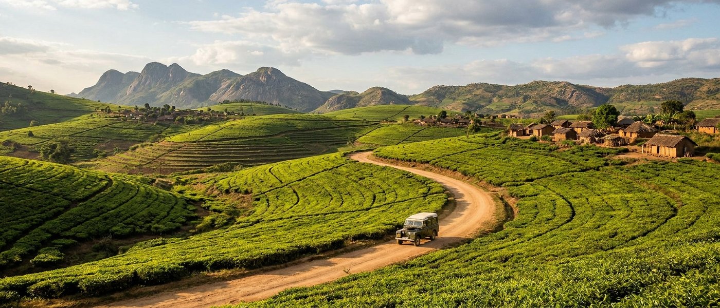
The Thyolo highlands were planted with tea from the 1890s onwards, mostly by Scottish settlers who had followed the missionary trail. By the 1920s the area was being parcelled out to a second wave of growers, and that is when my grandfather, an Italian agronomist, arrived and acquired what is now Conforzi Tea Estate. The house he settled into — the one I now run as a small hotel — was built in that decade in the typical planter style: deep verandahs, high ceilings, thick walls to handle the afternoon heat, large windows facing the prevailing breeze. If you drive the back roads between Thyolo town and Mulanje you will see dozens of these houses, some still occupied by tea-estate managers, some standing empty, a few converted into other things. The vernacular is consistent: stone foundations, brick walls, corrugated iron roofs painted dark red or green, a long fly-screened verandah where the family would eat in the evenings.
The rail history is harder to see now but worth knowing about. A narrow-gauge line once ran from Limbe down towards Port Herald (now Nsanje) on the Shire River, carrying tea and cotton out to the river boats that connected to the Zambezi. Sections of the old trackbed are still visible if you know where to look — a slightly raised line through the bush, the occasional cut bank, a few abandoned culverts. The line closed in stages from the 1970s onwards. Driving south from Thyolo you cross its ghost more than once.
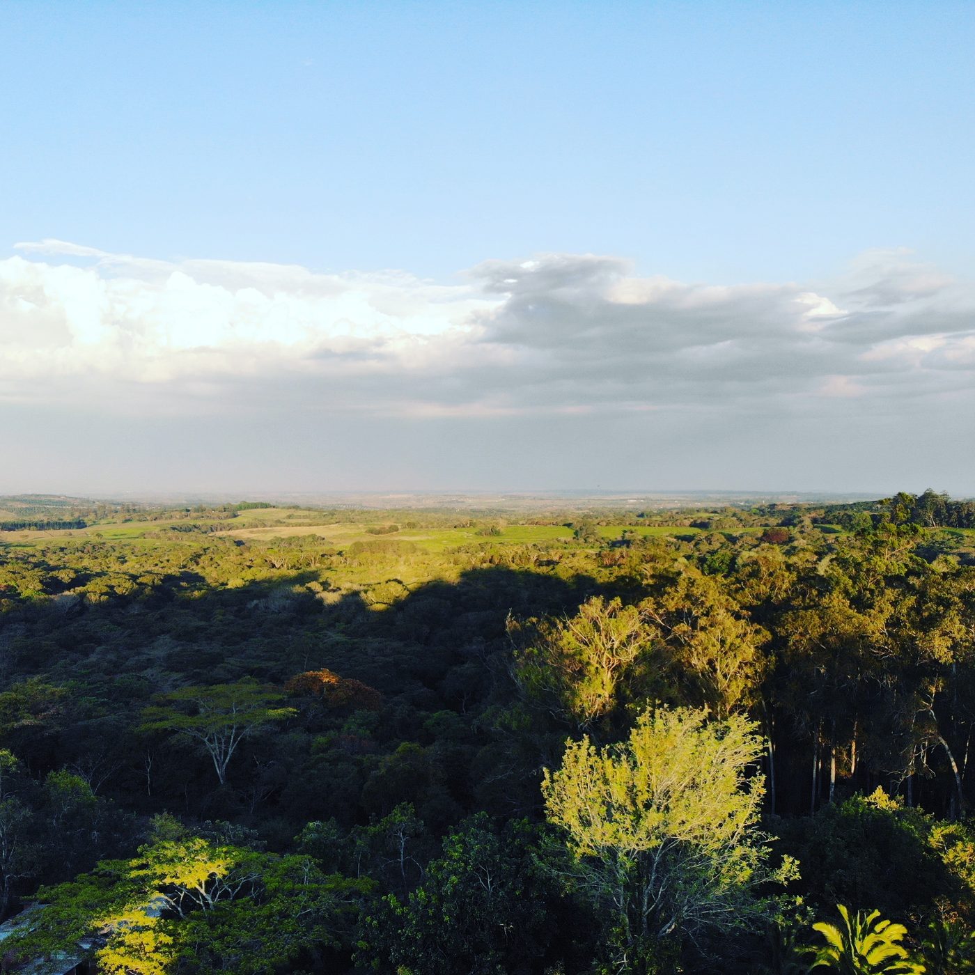
For anyone interested in this layer of the story, the more detailed account of how the estate came together — and how the family has worked the land for a hundred years — is in our piece on the story of Conforzi Tea Estate. If you are staying with us, the easiest way to absorb it is to walk the plantation in the late afternoon, when the pickers are coming back to the weigh stations and the light goes flat and gold across the bushes.
Mulanje's colonial-era footpaths — Likabula mission, the forestry station, and the cedar trade
Mulanje is the centrepiece of any southern Malawi travel itinerary now — even more so since UNESCO inscribed the massif as the Mount Mulanje Cultural Landscape on 11 July 2025, making it Malawi's third World Heritage Site after Lake Malawi National Park and the Chongoni Rock Art Area. The inscription recognises both the natural value of the massif — one of the world's largest inselbergs, with more than seventy endemic species including the critically endangered Mulanje cedar — and the cultural significance of the mountain to the Yao, Mang'anja, and Lhomwe peoples who have held it sacred for centuries.
But the history I want to flag for travellers is the colonial-era footpath network on the lower slopes, because most visitors never see it. The Mulanje forestry station at Likabula was established in the early 20th century to manage the cedar trade — Widdringtonia whytei, the Mulanje cedar, is Malawi's national tree and was felled in significant quantities for boat-building and construction through the colonial period. The station is still operational. The huts on the plateau, used now by hikers, were built in the 1930s and 1940s as forestry shelters. The paths that connect them were cut at the same time.
Likabula mission itself sits at the foot of the massif, a small Anglican station with a stone chapel and a cluster of buildings that have been continuously used for over a century. If you are not climbing the mountain — and most guests at The Thyolo House do day walks rather than the multi-day plateau crossing — Likabula makes an excellent half-day. You can drive there in about an hour from the estate, walk an hour or two up to the Likhubula falls along a path that was cleared in the colonial period and is still maintained by the forestry service, and be back for a late lunch.
For the practical detail on which tea estates around Mulanje run public tours and how to combine them with a mountain day, our guide to the Mulanje tea estates covers the logistics. A note on the cedar: there is an active campaign to replant Widdringtonia whytei, and a proposed rare-earth mine near Songwe Hill has drawn organised opposition from local communities and conservation groups through 2025. The UNESCO inscription has sharpened that debate. If you visit, ask the forestry staff about the replanting work — they are generally happy to talk about it.
Zomba's old capital — the Residency, the plateau road, and the parade ground
Zomba was the capital of Nyasaland from 1891 until 1974, when the seat of government moved to Lilongwe. What remains is a town with the architectural bones of a small colonial administrative centre — a Residency, a parade ground, government bungalows on the lower slopes, the King's African Rifles barracks, and the Gymkhana Club, which is still standing and still functioning in a quiet way. The drive from The Thyolo House to Zomba is about two hours, north through Blantyre and then east. It makes a long but feasible day trip; many guests prefer to combine it with a night somewhere on the plateau and come back to us via Liwonde.
The Residency itself — formerly the home of the colonial governor — is now part of the State House complex and is not generally accessible to visitors, but the gardens around it and the avenues of jacaranda and flame trees that the early administrators planted are open and worth a slow walk. The parade ground is still used. The town centre below the plateau has retained more of its colonial fabric than Blantyre because the commercial pressure to rebuild has been lower.
The plateau road climbs from the town in a series of switchbacks that were graded by hand in the 1890s and have been maintained, with varying degrees of attention, ever since. At the top you are at roughly 1800 metres, in cool montane forest with views down to Lake Chilwa and across to Mozambique. Our Zomba Plateau travel guide goes into the specifics of the trout farms, the old forestry rest houses (some of which still take bookings), and the viewpoints worth driving to. For a history-focused day, I would suggest the town in the morning, lunch at one of the small cafés below the climb, and the plateau road in the afternoon when the light is best.
A four-day southern Malawi travel itinerary based at The Thyolo House
This is the itinerary I most often suggest to guests who have asked for a route that takes in the colonial-era history without rushing. It assumes you are staying with us at the estate and using us as a base — you can do the whole thing as a series of day trips and return each evening for dinner.
- Day 1 — Blantyre. St Michael and All Angels Church, Mandala House, a slow walk through the old commercial district, lunch at one of the cafés on Victoria Avenue, drive back to Thyolo in the late afternoon. About 130 km of driving in total, most of it relaxed.
- Day 2 — Thyolo estate day. A plantation walk in the morning with one of our guides, lunch on the verandah, and either an art workshop with Flavia in the afternoon or a longer walk through the indigenous forest patches at the edge of the estate. This is the day people often plan as a "fill" and then say was their favourite.
- Day 3 — Mulanje. Drive to Likabula (about an hour), walk to the falls, lunch at one of the small lodges at the foot of the mountain, drive back via one of the smaller tea estates if you want to see the cedar replanting project. About 90 km round trip.
- Day 4 — Zomba. Earlier start, Zomba town and the parade ground in the morning, lunch, the plateau road in the afternoon. About 250 km round trip — this is the longest day. Some guests prefer to split it with a night at one of the plateau rest houses.
If you have a fifth or sixth day, the obvious additions are Liwonde National Park, where African Parks have rewilded the reserve since 2015 and reintroduced lion, cheetah and rhino, and Majete Wildlife Reserve to the south, also under African Parks management and home to the full Big Five. Park entry fees are in flux — I would recommend confirming current rates directly with African Parks before you go, because the published numbers vary by source and have been revised more than once in recent years.
Practical notes — distances, driving conditions, when to go, and how to book
A few things worth knowing for southern Malawi travel planning, particularly if it is your first time in the region.
Distances and driving. The southern circuit is compact by African standards. Blantyre to Thyolo is 65 km. Thyolo to Mulanje is about 50 km. Thyolo to Zomba is about 100 km. Thyolo to Liwonde is about 150 km, and to Lake Malawi (Cape Maclear) about 4 hours. Almost all of these roads are paved and in reasonable condition. The exceptions are the last few kilometres into some of the tea estates and the plateau road at Zomba, both of which are graded dirt and fine in a normal sedan if you go slowly.
When to go. The dry season runs from May to October. The cool months — June, July, August — are the most comfortable for hiking and tea estate walks; mornings on the plateau can be genuinely cold. October is hot and dry. The rains start in November and run through March, with the heaviest months usually December to February. The landscape is at its most beautiful in March and April, just after the rains, when the tea is brilliant green and the streams are full, but some of the dirt roads to the mountain can be slow going.
Tea estate tours. Most of the tea estates run guided factory and field tours — typically US$15–25 per person — but you generally need to book directly rather than booking online. We can arrange Satemwa for guests staying with us; visits to our own Conforzi fields are included.
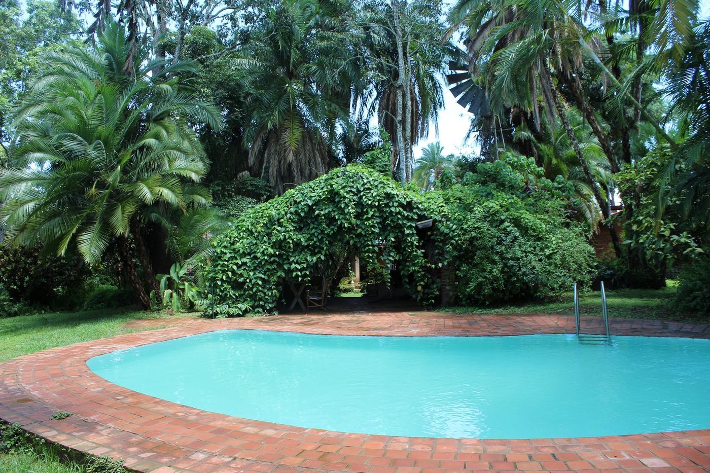
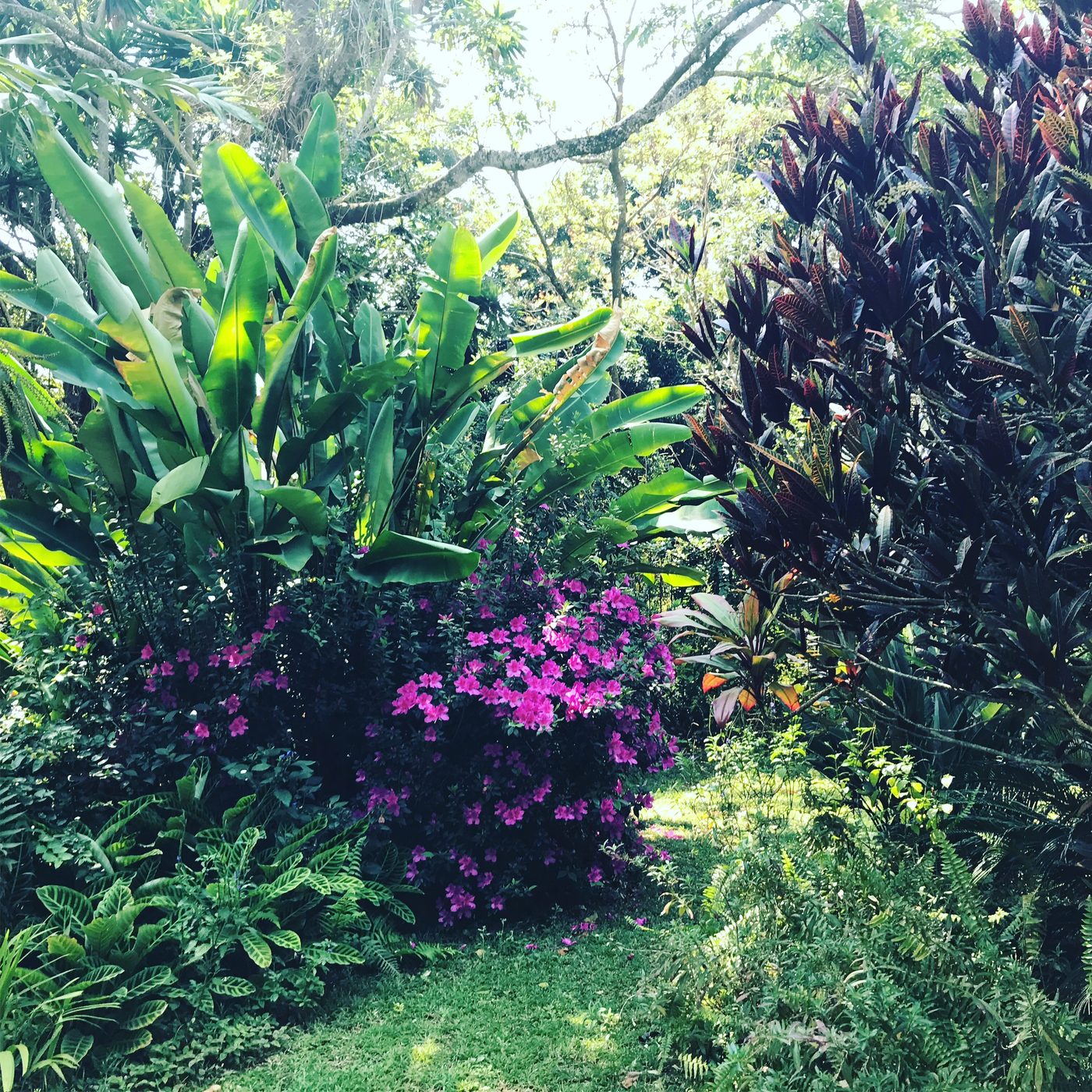
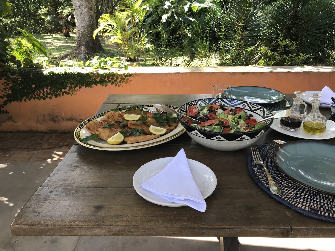
Staying with us. The Thyolo House has five rooms, an Italian fusion restaurant working largely from the kitchen garden, a pool, tea plantation walks and forest trails, and Flavia's art workshops for guests who want them. We are 20 minutes from Limbe and 40 minutes from Blantyre, so the airport is straightforward to reach. If this route interests you, the simplest thing is to message us on WhatsApp at +265 884 202 040 or write to thethyolohouse@gmail.com and we will work out the dates and the day trips around what you want to see. The history is here — we have been on this land for a hundred years now — and the best way to read it is slowly, with somewhere quiet to come back to in the evening.